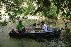
All graduate students in Water Resources Management (WRM) complete an interdisciplinary practicum — a two-year applied project focused on a contemporary challenge in water resources.
The practicum provides an opportunity for students to gain professional experience in addressing real-world problems. Graduate students work on a collaborative team, with the guidance of faculty advisors, to develop a project for a government agency or nonprofit organization client.
Throughout the project, students gain experience with scientific and technical skills, such as fieldwork, lab analysis, modeling, and GIS, as well as communication skills, such as stakeholder engagement, education and outreach, and presenting to technical and non-technical audiences. Ultimately, the interdisciplinary team contributes unbiased management recommendations to water policy decision makers.
Practicum Structure
The WRM practicum starts during students’ first fall semester on campus with a planning seminar (1 credit), where students are introduced to the water resource challenge and work to draft a project proposal. In the spring, WRM students take another planning seminar (2 credits) where they continue laying the groundwork for the project and preparing for summer practicum activities.
During the summer, graduate students should be prepared to devote most of their time to the practicum (4 credits). This is when teams conduct the majority of their data gathering, analysis, and outreach. The next fall, students synthesize their findings into a final report and presentation (1 credit).
Real-World Impact
Each WRM practicum project is unique. Recent WRM practicums have been located in the Madison area and throughout Wisconsin and have spanned different social settings and ecosystems. Graduate students have addressed water resource management issues in rural, agricultural, and urban watersheds related to water quality, flooding, resource management, watershed planning, restoration, and water reuse.
Students have worked with diverse clients and stakeholders including lake associations, the Wisconsin Department of Natural Resources, cities, towns, and counties, citizen science volunteers, regional planning commissions, sewerage districts, environmental consulting firms, universities, conservation organizations, and local residents.
WRM practicums have been conducted, first as seminars and later as practicums, since the start of the program in 1965. Their titles and accompanying descriptions demonstrate the wide variety of practicum topics and locations since 1970. Findings from WRM practicums have informed critical decisions related to water resource management and planning.
To learn more about recent WRM practicums, please explore the following project examples and pdf reports. Hard copies of practicum reports are available in the Nelson Institute Student Commons in Science Hall.
If you are interested in sponsoring a practicum or have an idea for a practicum, please contact the program’s faculty chair.
Project Examples
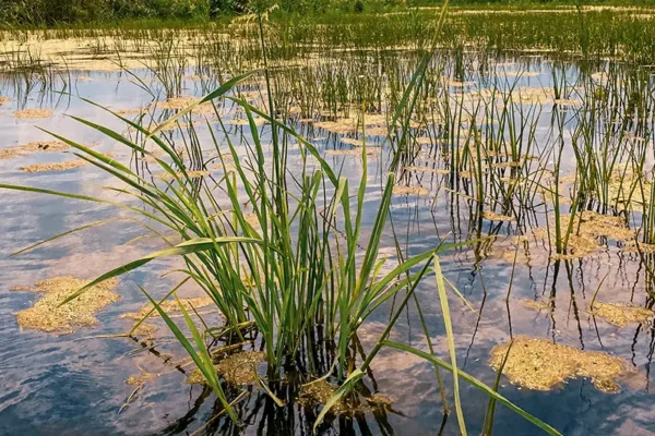
Studying Wild Rice
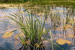
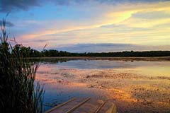
To aid in understanding the complex ecological factors impacting wild rice growth in southern Wisconsin, the 2021–23 WRM cohort conducted a multidisciplinary, exploratory analysis of a southern wild rice bed on Lake Koshkonong.
Enhancing Water Quality
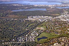
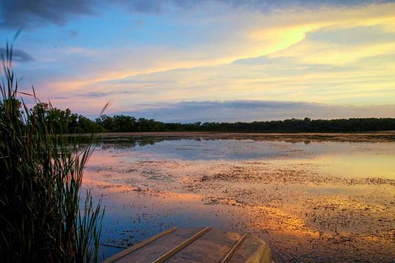
The 2020–22 WRM cohort established and worked with various stakeholders from different facets of the UW–Madison and City of Madison communities to develop stormwater management recommendations for the Lake Wingra watershed. This project ultimately engaged more than 50 stakeholders involved in green infrastructure installation and stormwater management.
Improving Flood Resilience
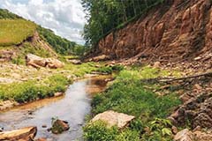
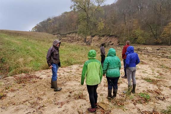
In August 2018, a severe rainfall led to the breach of several dam structures in the Coon Creek Watershed of Wisconsin’s Driftless Region, resulting in devastating flooding downstream. In the aftermath, WRM students worked to improve flood resilience in the watershed by working with the land and its people.
Summer Workshop Reports
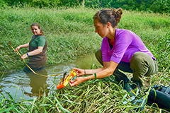
2018
Assessing Land Use Impacts and Promoting Community Engagement in the Waubesa Wetlands Watershed
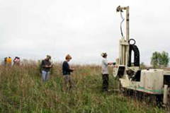
2011
Nine Springs Recharge Project: Exploration and Evaluation of Water Reuse in Fitchburg, Wisconsin

2007 New Orleans Report
Wetland Restoration and Community-Based Development — Bayou Bienvenue, Lower Ninth Ward, New Orleans
