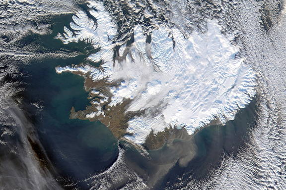
The Nelson Institute’s Environmental Observation and Informatics (EOI) program is a 15-month professionally focused master of science degree. The program is rooted in the disciplines of environmental conservation, remote sensing and GIS, and informatics. By spanning these disciplines, you will be ready for a career at the intersection of the geospatial and environmental fields.
A Program Built for Your Future
What You Will Learn
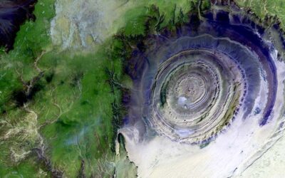
- Digital image analysis and interpretation (e.g. classification, change detection, atmospheric correction)
- Geospatial data science (e.g. data management, spatial statistics, machine learning algorithms, data visualization and storytelling)
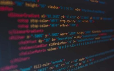
- Programming (e.g. R, Python, Javascript)
- Policy and ethics of observational data
Areas of Focus
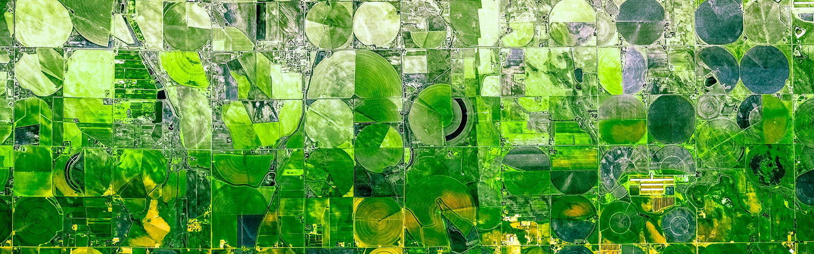
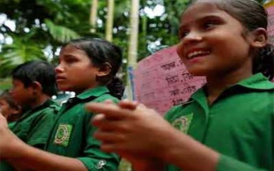
- Land use change and urbanization
- International and sustainable development
- Forest resources and management
- Sustainable agriculture
- Wildlife ecology and habitat conservation
Where Can Your Degree Take You?
90%
of our graduates perform geospatial analysis
50%
are employed by private industry
40%
stay in the Midwest
Cutting-Edge Curriculum
The 32-credit Environmental Observation and Informatics curriculum provides the expertise that the market demands, focusing specifically on three pillars:
![]()
Remote sensing and integrated technology
![]()
Modeling and analysis
![]()
Innovative leadership
Your Passion, Your Project
We help each student craft a unique and meaningful final project. We explore your background, your professional goals, and your dreams to make the world a better place. Together, we match you with our extensive network of partners around the world.
What Our Students Say

![]()
The program is incredibly well packaged and I’m so grateful for the opportunity to participate in it. I can’t express it enough, it’s such a great program and a great fit for me.

![]()
Learning how to use tools like Python, Java, and R studio has provided me with a core understanding of using data in a way that is transferable across many disciplines.

![]()
The decision to enroll in EOI was a combination of factors: the technological learning offered, the helpful staff and faculty, and the welcoming, supportive attitude of everyone involved.
The View From Above
A blog at the intersection of Earth observation and environmental conservation
Geospatial Skills in a Complex World
Cracking the Code: Harnessing Computer Programming for the Environment
Top Podcasts in Earth Observation
Ready to Apply?
Check out the program requirements and qualifications, view the application timeline, and find tuition information and financial assistance.
Thinking of applying and have an interest in sustainable agriculture and remote sensing? Check out this opportunity to work on a project measuring pasture production with satellite data.
We're Here to Help
Wondering if the Environmental Observation and Informatics program is right for you? Our coordinators are happy to learn more about your background and interests and answer your questions.

Meghan Kautzer
Assistant Director of Environmental Professional Programs
mkautzer@wisc.edu
Meghan is the assistant director of environmental professional programs. Meghan works closely with students before, during, and after their time in the program to dig deeper into their personal strengths, values, goals, and professional skills gaps. She supports students with intentional career planning, reflecting with the student to help them discover where they fit in as a professional in environmental conservation.
Meghan’s passion for nature inspired her to pursue studies in conservation biology, zoology, and environmental studies and later train as an educator for her master’s degree, going on to teach secondary science and later leading operations and outreach for a water conservation technology company in the Bay Area.
Meghan is trained as a global career development facilitator, she is currently involved in extensive leadership training and consistently engages in professional development opportunities to improve capacity development in conservation.