Courses
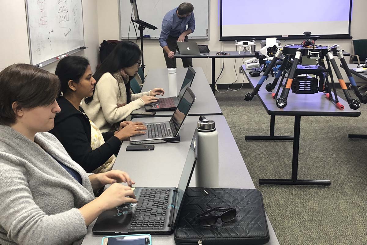
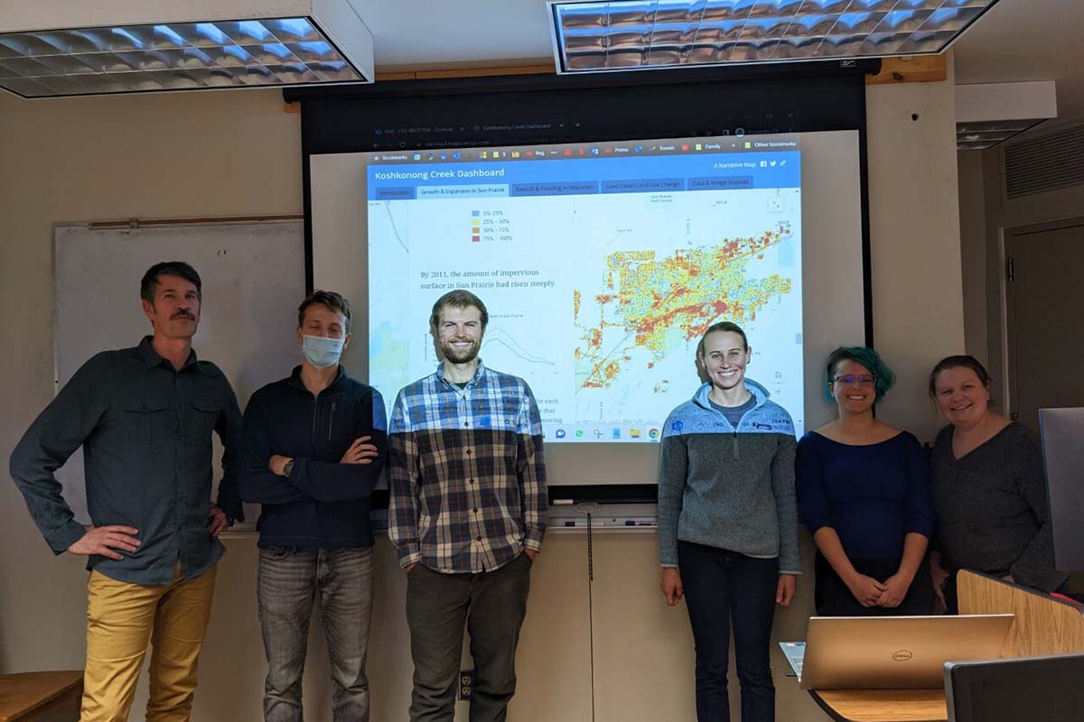
Conservation GIS
Explore the many uses of spatial data in the natural sciences, as well the many tools available for geographic information system (GIS) practitioners.
Remote Sensing Digital Image Processing
Learn the techniques of enhancement and quantification of remote sensing imagery. Process and analyze data gathered by airborne and satellite sensors.
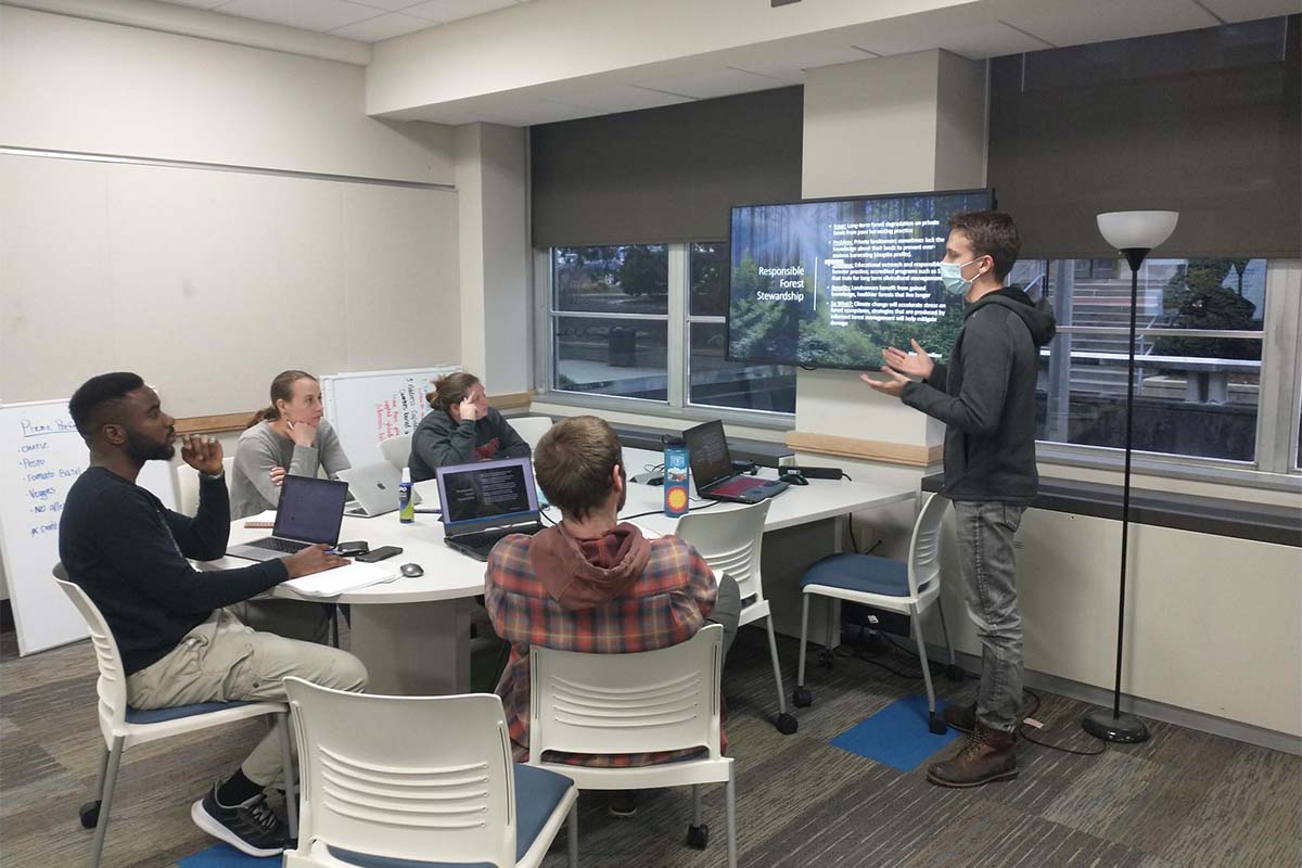
The Practice of Conservation Biology and Sustainable Development
Build your skills in intercultural dialogue, team dynamics, communication, effective visual presentation, interviewing and presentation skills, and project development.
You will also take an elective option focusing on the social, economic, or ecological issues relevant to working with geospatial environmental data.
Bonus Activities
Dozens of Nelson Institute events
Multiple guest seminars
Professional development workshops