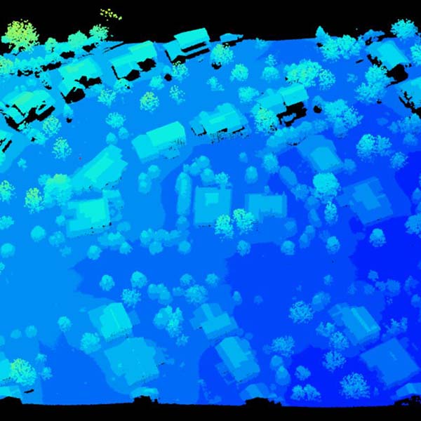
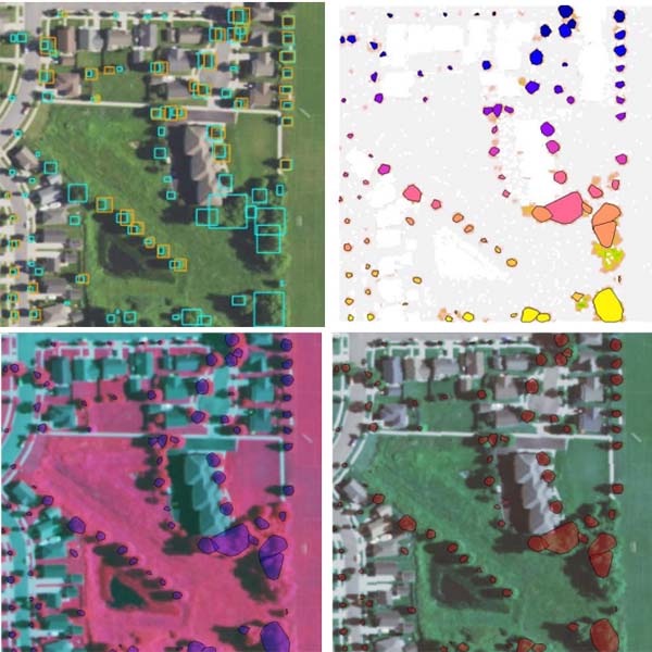
For her environmental observation and informatics program leadership project, Liz Levy worked with the Tree Canopy Collaborative, an interdisciplinary working group that aims to build an equitable canopy for the future of Dane County.
Her work addressed the question of whether all county residents have equal access to trees. Levy created a comparative report of methods for mapping individual trees and a story map exploring canopy change and equity.


Skills Used in This Project
![]()
Remote sensing analysis
![]()
Programming
Get to Know Liz Levy
Undergraduate Major
Computer science
Current Job
Geospatial intern, Capital Area Regional Planning Commission
In Her Own Words
“I can happily say that enrolling in the EOI program was the right decision for me. While I had previous experience working in conservation and technology, I had little idea of how to combine the two. I gained so many valuable skills throughout the program and felt confident applying them during my final project.”
“Although I came into the program with a background in computer science, I still found the technical curriculum to be very useful. What I found most valuable was having a strong background in the basic concepts of remote sensing. Having a deep understanding of the way real land was related to the pixels (or point returns) on my screen enabled me to confidently complete my project.”
