ENVIR ST 403 LEC 001
Tuesday, 2:25–4:35 p.m.
3 credits
Instructor

Jonathan Sullivan
Assistant Professor of Environmental Studies
jonathan.sullivan@wisc.edu
Course Description
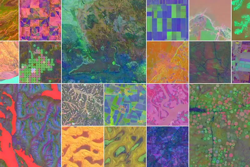
Learn how AI can be used as a tool for protecting and preserving our planet. This course puts students at the cutting edge of using AI for satellite-based Earth observation, covering “deep learning” methods from its foundations of neural networks to recent advancements.
Students explore machine and deep learning through hands-on labs, literature review and research design, using the latest models and modern computational libraries to efficiently develop and execute their own original models and research.
UW Designations

Intermediate
