Bad River – Wetland Medicine River: Interactive Watershed Story Map
The 20′ by 30′ floor map invites hands-on engagement with the map and the watershed that it represents.
Printed on billboard material, the map can be displayed indoors or outdoors. People can walk the map, explore the territory, and write on places that are important to them with a permanent marker. In this practice of “storymapping,” people contribute cultural or personal stories by mapping them into places.
As of May 2015, the map have been featured at 15 events throughout the state of Wisconsin. Audiences at our map events were very diverse, including participants from all over Indian Country, Canada, Germany, Japan and even Tasmania! These public conversations about the Bad River watershed and the Lake Superior Basin revealed that the area has many admirers! The waterways, waterfalls, and high quality lakes are all a big draw for visitors!
AnishEPA, the Anishinaabe Environmental Protection Alliance, members use the maps for community and public outreach.

The Interactive Map: the traveling floor map collects stories of people who are from the bad River watershed or just passing through.
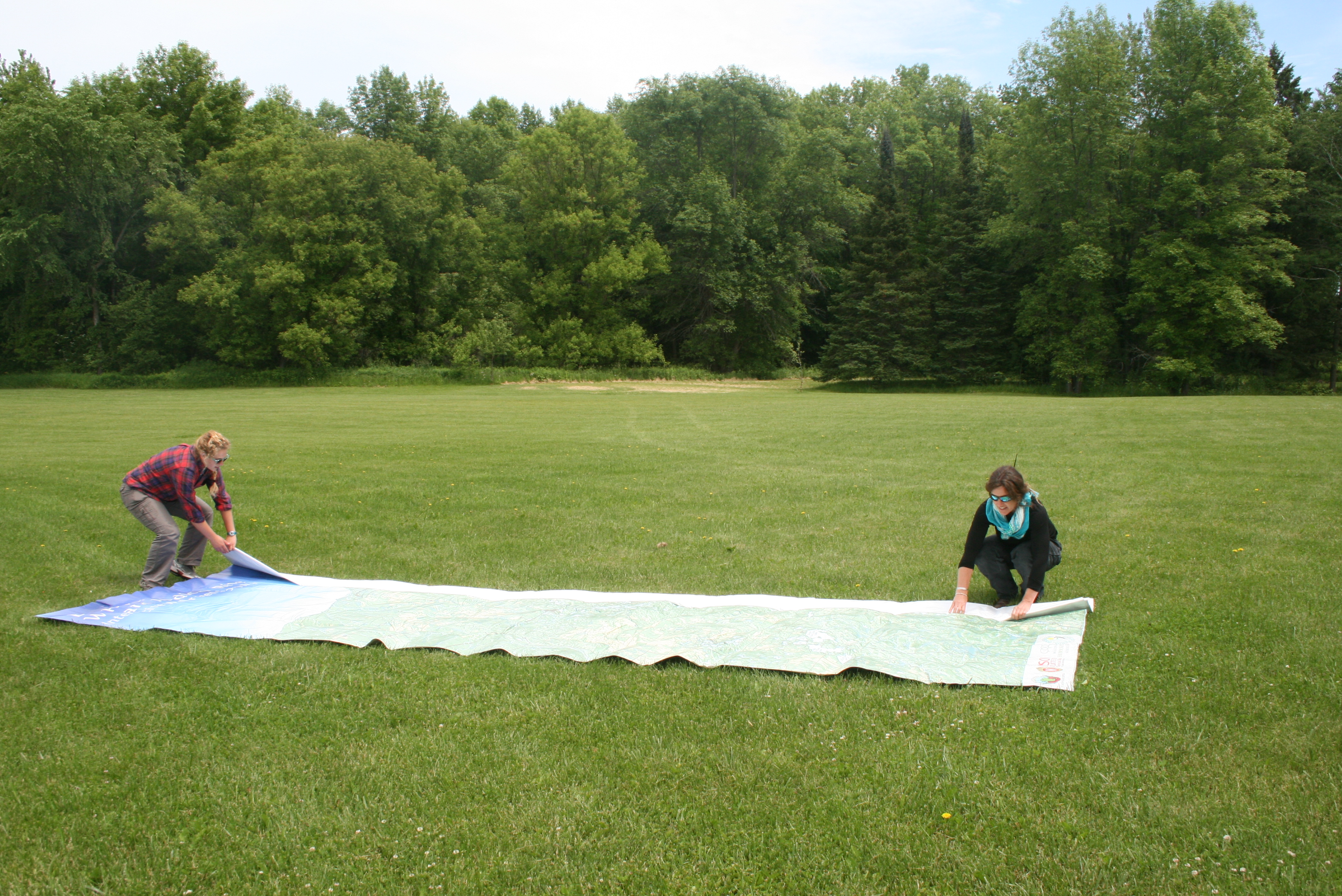
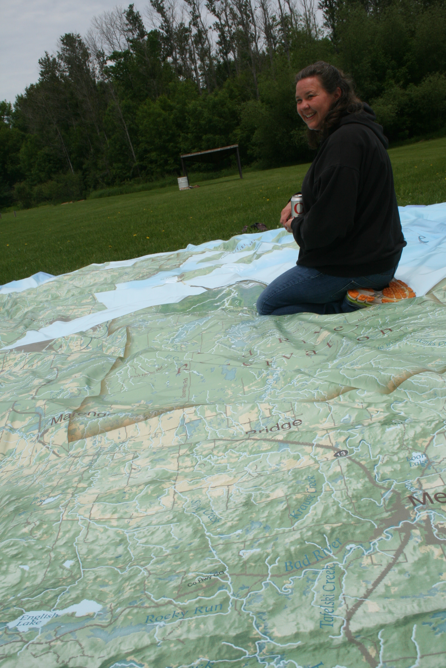
Conaway, with assistance, unfolds the map in an open area.
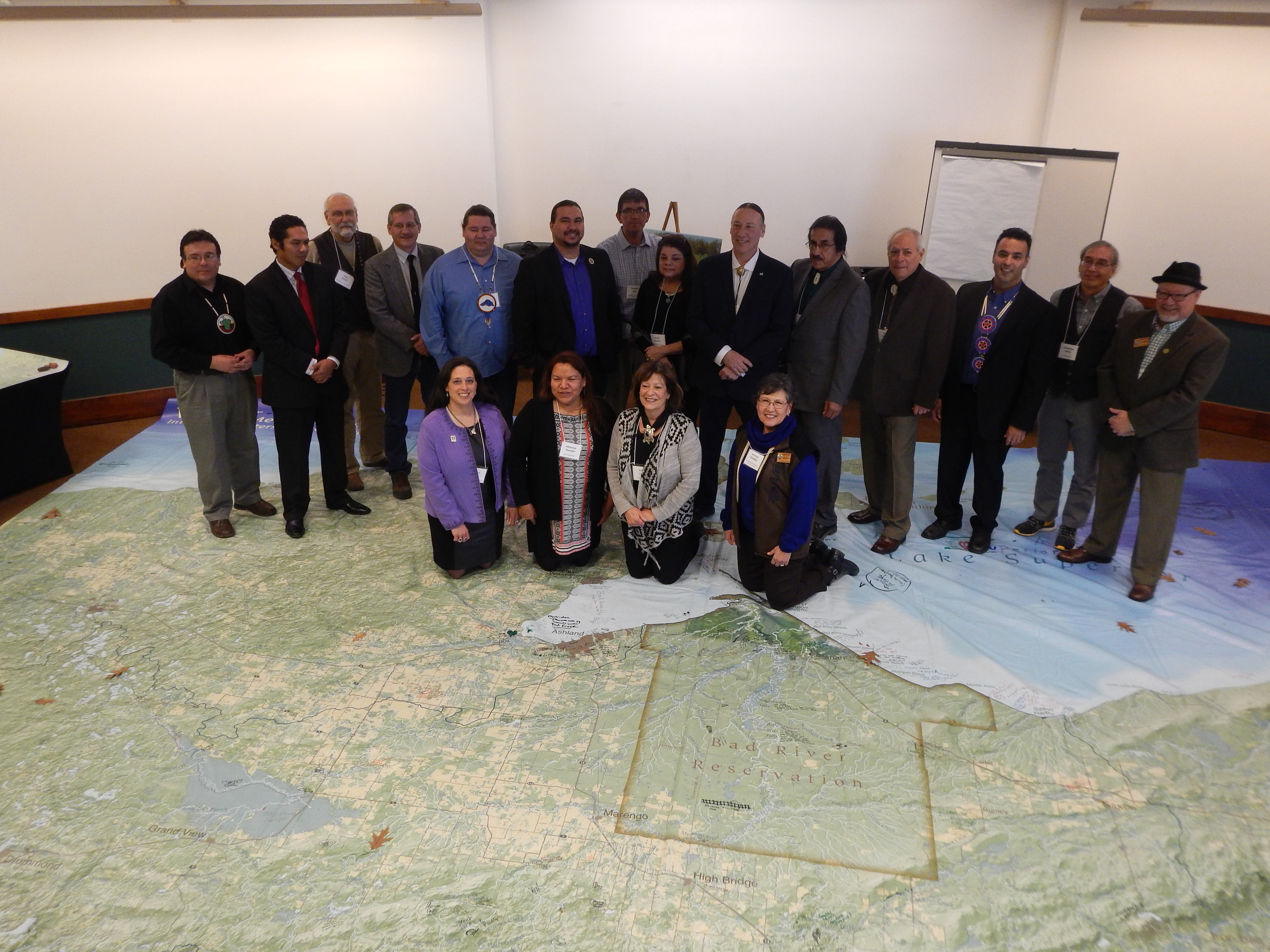
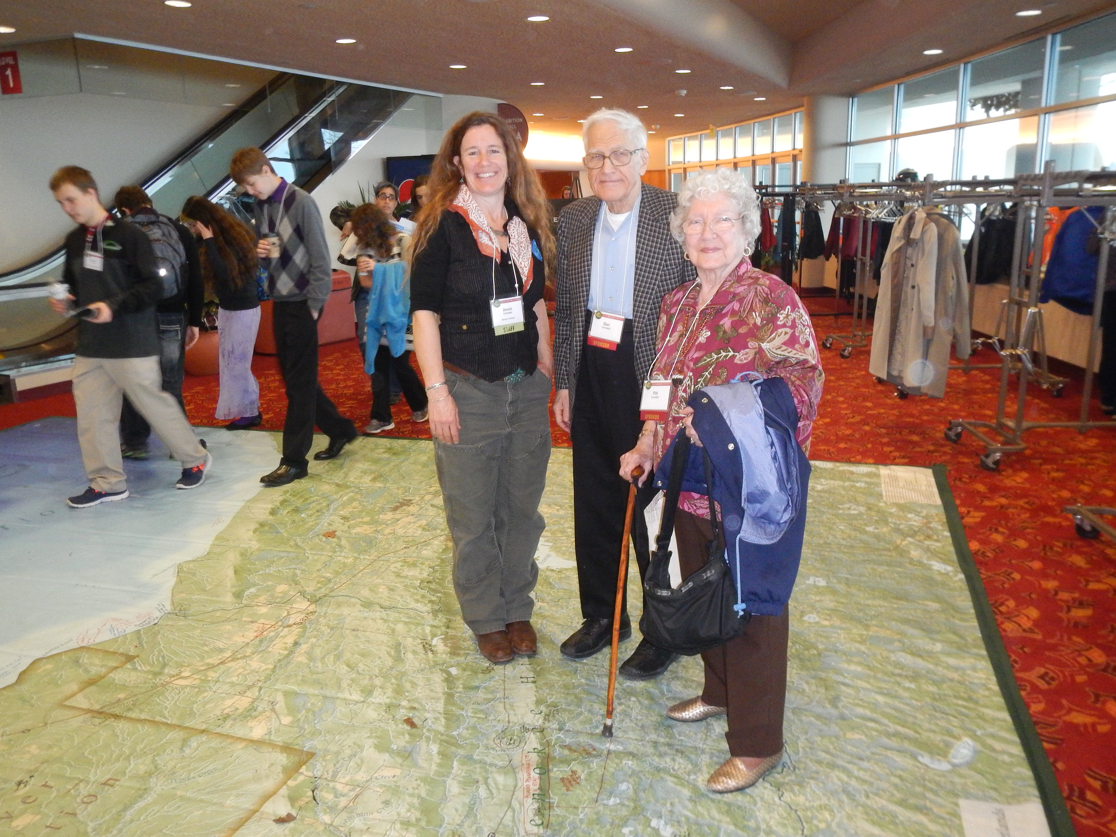
Tribal leaders and representatives at the UW – Native Nations Summit on Environment and Health, Madison, WI, March 2015.

Matt Dannenburg, League of Conservation Voters; Clinton Isham, Great Lakes Inter-Tribal Council; and Dylan Jennings, Great Lakes Indian Fish & Wildflife Commission.
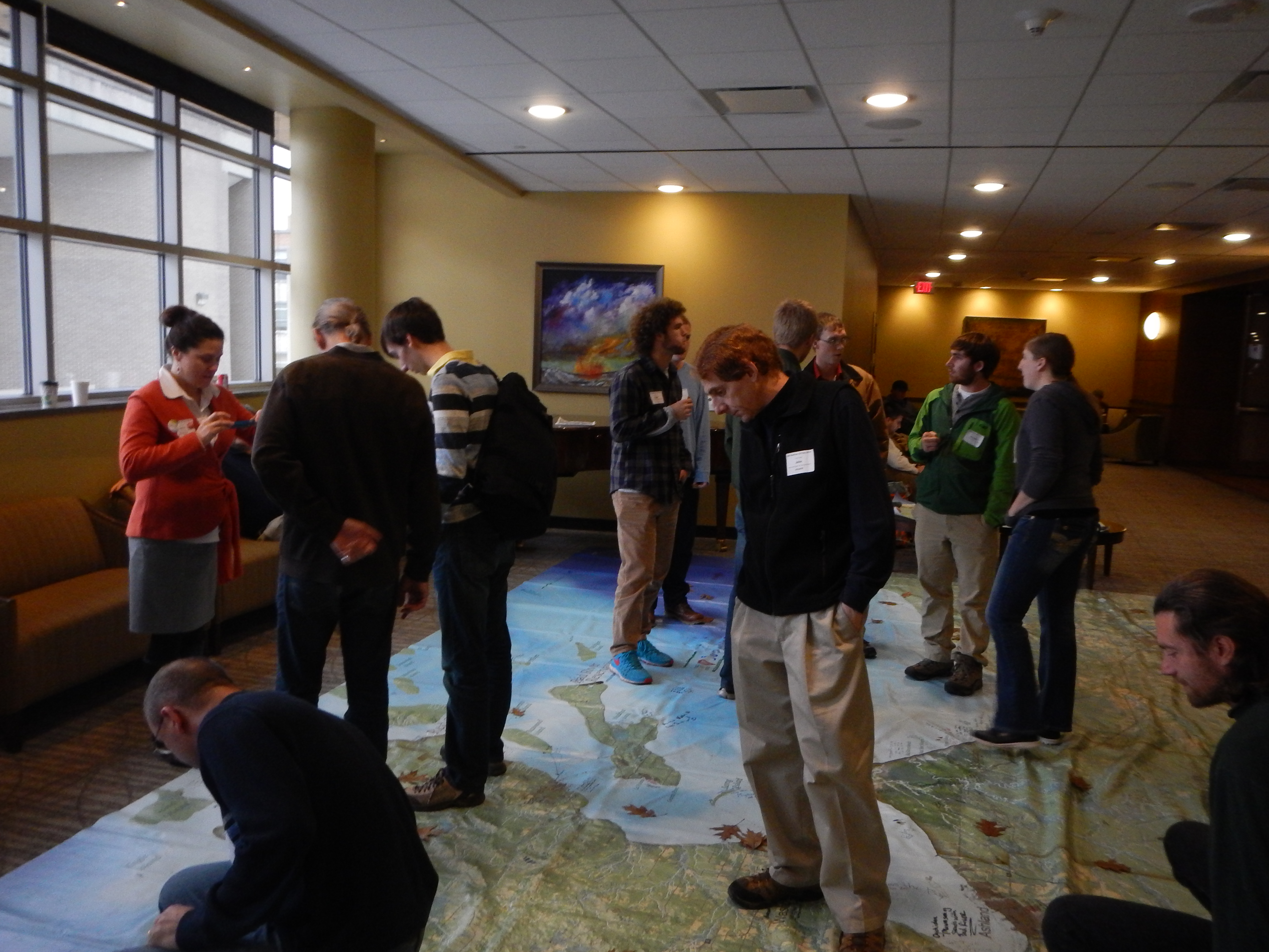
UW Madison GIS Day, November, 2014.
UW Madison Mappers (left to right) GIS Certificate Program coordinator Karen Tuerk, UW Cartography Lab director Tanya Buckingham, and Robinson Map Librarian Jaime Stoltenberg.

Floormap demo as tool for Community Watershed Literacy, UW Arboretum, October 2014.

Public Map Launch at Northern Great Lakes Visitor Center, Ashland, WI, June 2014.
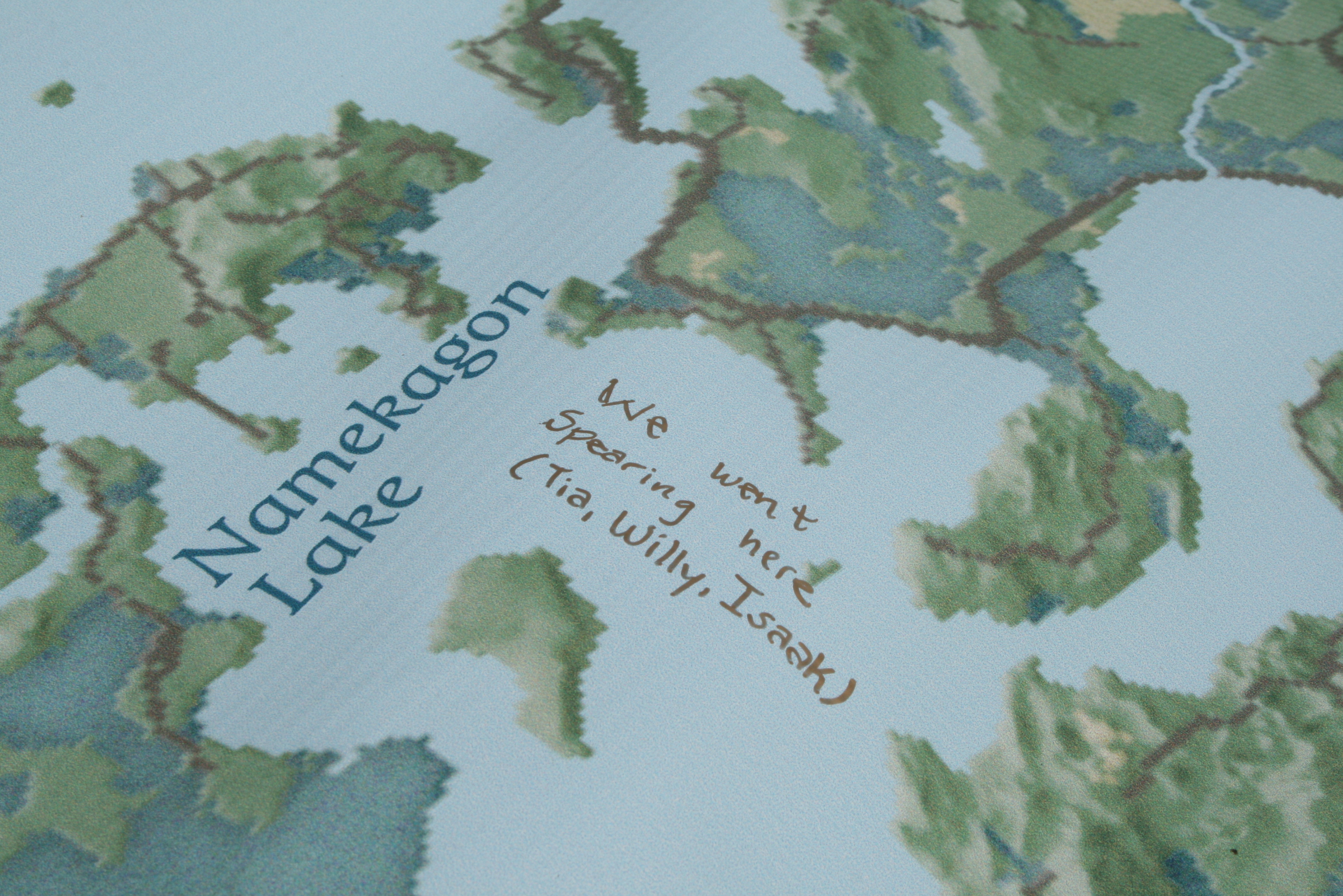
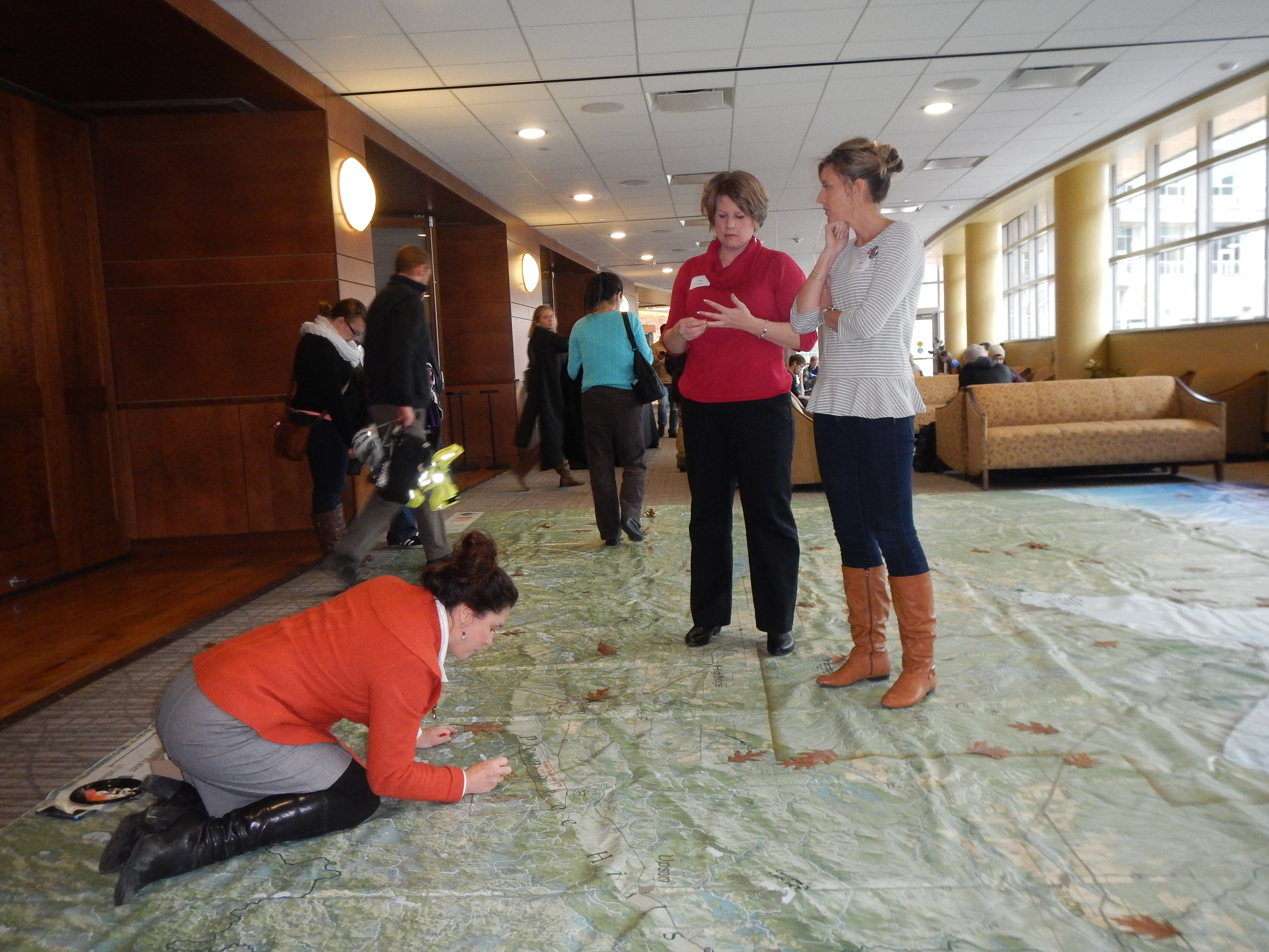
Floor Map in detail.
Nelson Institute Earth Day, 2015, Madison, WI.
Luann Wiggins, BRYO mom, at the project launch, Bad River PowWow grounds .