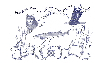
Welcome to the official webpage of the Bad River Water&Culture Maps Project, featuring a cross-cultural, multi-media approach to mapping the Bad River watershed and the south shore of Lake Superior. This project is a collaboration between Bad River Ojibwe tribal members and the Nelson Institute’s Jessie Conaway, PhD.
Explore our site: view the maps, browse curricula for teaching with the maps, learn about the ecologically vital Bad River Watershed, and Lake Superior Ojibwe people.
For educators –>>
Special features include : curricula for teaching with the maps, and a kids’ page!
